This ATTOM webinar, presented by Sean Mooney, VP of Product Management for ATTOM, discusses ATTOM’s premier geospatial boundary products, including Parcel, Neighborhoods, School Attendance Areas, and more.
During this webinar, Sean takes a deep dive into the various ways ATTOM’s boundary products and associated contextual data sets – such as demographic, economic, environmental and crime – are utilized by customers for hyperlocal search, map display and visualization, data enrichment, and other geospatial analyses.
Sean also examines why the accuracy, currentness, and coverage of these unified geospatial boundary products make them the superior choice for your business needs.
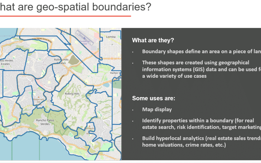
This webinar begins by stating that geo-spatial boundaries or boundary shapes define an area on a piece of land and are created using geographical information systems (GIS) data and can be used for a wide variety of use cases, including:
- Map display
- Identify properties within a boundary (for real estate search, risk identification, target marketing)
- Build hyperlocal analytics (real estate sales trends, home valuations, crime rates, etc.)
Sean notes that parcel boundaries define the boundary of individual properties and the extent of land ownership and are maintained by county GIS Offices as properties are split, combined and modified.
He explains that ATTOM’s Parcel Boundaries coverage is:
- Extensive – 156+ million parcels nationwide, 99% of U.S. population, including U.S. territories.
- Current – The average Parcel age is 180 days and approximately 95% of Parcel Boundaries have been updated within the last year.
- Accurate – All boundaries are cleansed and standardized.
- Unified with other products – Parcel layers can be linked to property information within our Assessor, Recorder, Foreclosure, AVM, Building Permit, and other property products.
Also during this webinar, Sean presents various parcel boundary samples, including flood zones, as well as neighborhoods coverage, and School Districts and School Attendance Areas (SAAs).
Get an overview of ATTOM’s core value proposition and breadth of data solutions. ATTOM is the one-stop shop for premium property data fueling innovation, ATTOM provides analytics-ready data for real-world applications. ATTOM blends property tax, deed, mortgage, foreclosure, environmental risk, natural hazard and neighborhood data for more than 155 million U.S. residential and commercial properties, multi-sourced from more than 3,000 U.S. counties. ATTOM’s property data fuels growth across many industries to help drive decisions while delivering data in a variety of flexible customer solutions, including bulk data licensing, property data APIs and ATTOM Cloud.
ATTOM’s robust property data is leveraged by customers to innovate in a variety of industries, including Real Estate, Insurance, Mortgage, Marketing, Government and Academia. By utilizing ATTOM’s robust property data, ATTOM clients not only create innovation but gain that competitive advantage within their industries. End-users of the data include developers, data scientists, risk managers, investors, policymakers and analysts. Discover ATTOM’s Table of Data Elements.
Want to learn more about ATTOM’s Boundary Data Products for Your Business?
Click here to listen to the entire webinar.


