Whether you’re looking to guide property investment and purchase decisions with enriched neighborhood and property data or looking to develop mapping apps that provide detailed neighborhood and school zone information — accurate boundary data can offer you precise location information on properties and local neighborhoods.
At ATTOM, we offer a range of boundary data products, from census boundaries to school district boundaries to help you elevate your business processes and offerings. In this post, we take a look at the unique value of parcel boundary data and neighborhood and residential subdivision boundaries.
Parcel Boundary Data: a Snapshot of Uses and Benefits
Parcel boundaries refer to the designated boundaries of an individual plot of land or property. Counties map boundaries with geographical information systems (GIS). These are then compiled into a larger map that includes every property in the country. Boundaries are ever shifting to reflect real-time changes of plots of land and properties — helping to ensure the data is accurate and up to date.
Parcel boundary data can provide you with deeper insights into a specific property or group of properties. For example, you can use parcel boundary data for catastrophe mapping and risk — using it to demonstrate a property’s historical experience of natural disasters, such as tornados or wild fires, and providing maps on each property’s prospective risk of suffering a natural catastrophe.
You can also use parcel boundary data to help enrich your real estate portal data. You can provide maps that highlight the boundary lines for properties, alongside relevant property information — driving visitor interest by offering detailed insights into a property and its location.
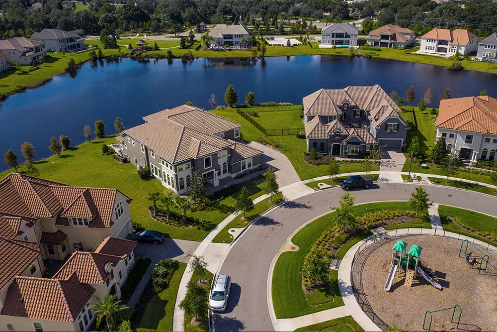
Neighborhood and Residential Subdivision Boundaries
Neighborhood and residential subdivision boundaries data offers a hierarchical set of boundaries and names based on the consensus opinion of the people who live there. As such, these specific areas reflect the perceptions of the local area that residents hold — which is ideal for supporting the hyperlocal search capabilities preferred by consumers.
With ATTOM, you can gain more in-depth targeted insights:
- Level 1: Macro-Neighborhoods encompass the largest geographical area — they depict regions, large master-planned communities, or large areas of a particular city.
- Level 2: Neighborhoods reflect the pre-defined local neighborhood within a city — such as Chelsea, East Village, and the Lower East Side.
- Level 3: Sub-Neighborhoods — these are smaller, named areas typically found within a level 2 Neighborhood, such as businesses or historic districts.
- Level 4: Residential subdivisions are made up of boundaries subdivisions, apartment complexes, town home communities, condos, retirement facilities, and other residential housing tracts.
You can use this data in a number of ways. For example, if you own a property portal then you can help drive interest and engagement by allowing users to search your real estate portal for more information on properties in a desired neighborhood. Moreover, if you’re in marketing then you can use this data to create personalized campaigns based on where your target customers’ local neighborhoods.
ATTOM’s Boundary Data Solutions
We currently offer one of the most extensive boundary data offerings on the market. Our boundary data covers more than 155 million properties throughout the U.S. At ATTOM, we provide 99% population coverage. You can also benefit from our flexible delivery solutions — including bulk files and property data APIs.
Interested to find out more? Reach out to our data experts today.