U.S. parcel boundary data uses geographical information systems (GIS) to map boundaries of a property or piece of land. This data is key for helping property buyers and sellers visualize their homes, neighborhoods, and local services and institutions in an in-depth way.
As a real estate broker, you can use boundary data to create detailed online maps of neighborhoods and school zones for your real estate listings.
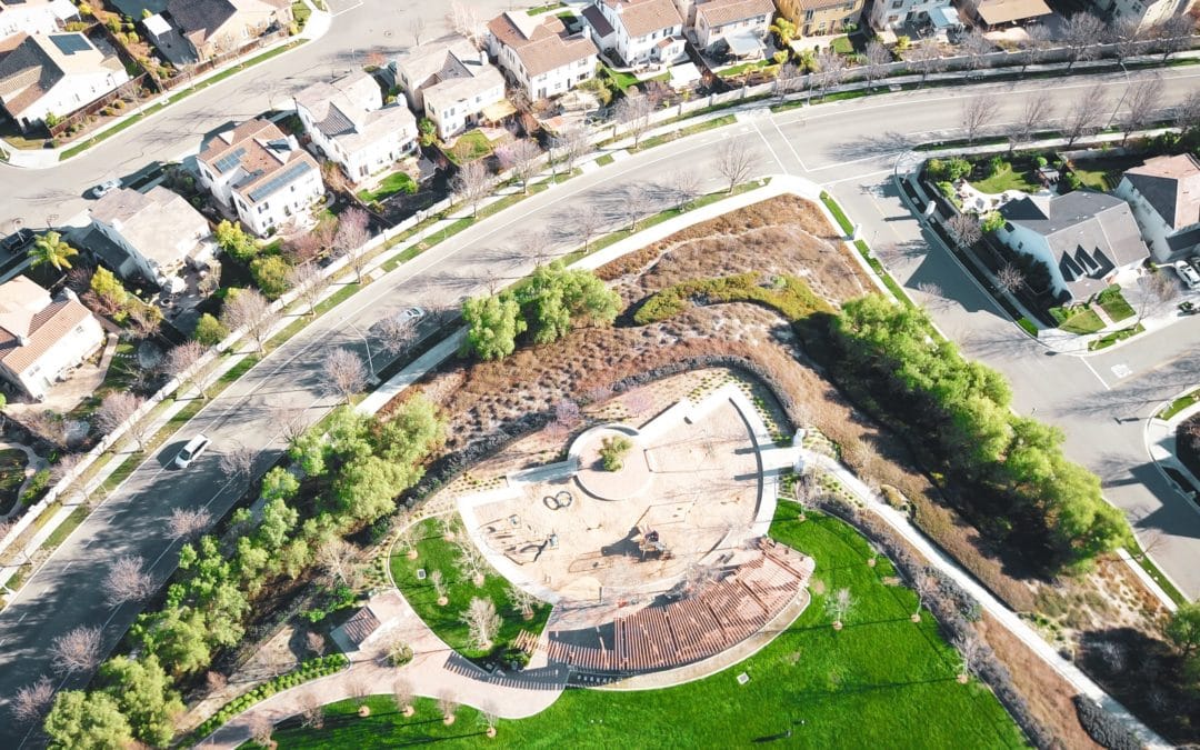
The Value of U.S. Boundary Data
Enrich the property data you share online and drive more traffic to your site by offering accurate, detailed neighborhood and real estate data to home buyers. You can use nationwide parcel data to show the boundary lines for homes – ensuring rich, up-to-date information is provided on each property.
Moreover, you can use boundary data to provide information on key amenities like local schools and points of interest to prospective property buyers.
Let’s take a look at how you can use U.S. parcel boundaries and other forms of boundaries data to provide more information on local schools, a key factor in many families’ home purchase decisions.
Offer insights into local schools
Research undertaken by the National Association of Realtors, found that 26% of home buyers considered the quality of local schools during their property search.
Homes near good schools typically provide a higher property value. Research undertaken by over two decades by Duke University, house prices grow by $0.52 per square foot for every percentage point rise in school district PSSA scores.
You can use boundary data to share a parcel boundary map online, that shows information on school attendance zones and school district boundaries to give buyers insights into the best local schools in their area. This enables buyers to visualize where their home is placed and how this will impact their family.
U.S. Parcel Boundary Data from ATTOM
ATTOM offers the largest database of spatial data on area and neighborhood boundaries. This data is sourced from a range of reliable sources, including local governments, media, customer feedback, and more.
ATTOM’s U.S. parcel boundary data covers more than 155 million properties in over 3,000 counties across the nation. Our comprehensive U.S. boundaries data covers 70 billion rows of data and 9,000 data fields. We offer 99% population coverage.
Moreover, our Enterprise Data Management Program (EDMP) includes over 20 steps that validate, standardize, and enhance our sourced property data. From property address standardization to fusion of multi-sourced data and data governance, you can turn to our parcel boundary data as a reliable source of real estate data.
If you’d like to learn more about our comprehensive boundary data, please reach out to our team of data experts.