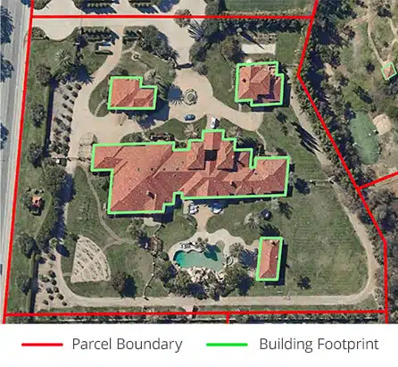
Tag: building footprint data
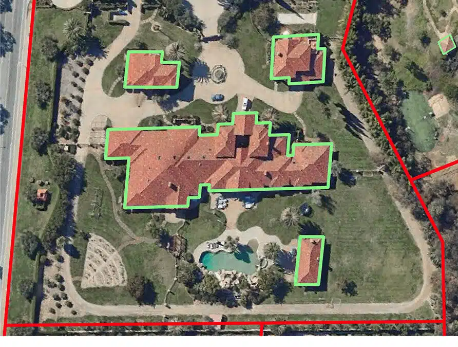
ATTOM’s Building Footprints is a Game-Changer for Insurance and the Real Estate Sector
Geospatial data and analysis are becoming increasingly sophisticated and are serving a broader market. Geospatial data is locational data captured from satellites and aerial imagery presented visually and accurately on maps. Layers of data can be added to visual maps to illustrate land use, demographic information, home values and more, or to... Read More »