ATTOM’s Neighborhood Data for Seattle, WA
Upmarket Neighborhoods with Convenient Transit Routes
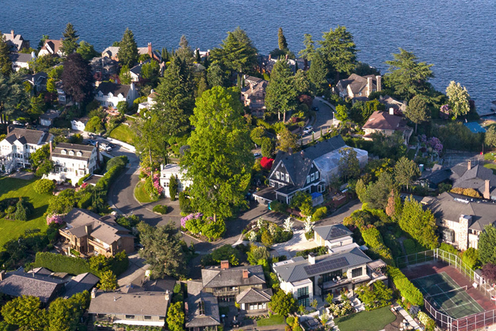
The most popular neighborhoods in Seattle, WA, include Laurelhurst, Green Lake, Meridian, Lake City, Edgewater Park/Broadmoor, Ballard, Broadway, Fremont, Queen Anne, and Crown Hill.
Seattle’s neighborhood data shows that median real estate prices in urban Laurelhurst are more expensive than 99 percent of the neighborhoods in Washington and 99 percent of the neighborhoods in the United States. Many of the residences in the Laurelhurst neighborhood are older, established, and built between 1940 and 1969.


ATTOM’s Neighborhood Data for Property Insights
ATTOM’s neighborhood data at the city and zip code levels allows real estate professionals to find the areas that will fit the needs of prospective buyers or investors. The data helps marketers to better match their content with their target audience.
Search neighborhood data according to resident demographics, specific points of interest, and transportation. ATTOM’s neighborhood data for Seattle, WA, includes:
Neighborhood highlights for 14 business categories and 120 lines of business.
Noise scores for roads, highways, airports, railroads, and emergency vehicle stations.
Transit Routes
Local public transportation routes.
Crime
Statistics by year including murder rates, robbery, motor vehicle theft, and aggravated assault.
Unemployment Rates
The number of unemployed as a percentage of the labor force.
Weather
Historical weather data on meteorological variations and patterns.